PlaceChangers Site Insights

Place Analysis Tool for Health & Wellbeing
Make smarter, data-driven decisions for your project proposals with a comprehensive place-based analysis.
customer success
Used by Developers, Councils, and Leading Service Partners
Empower your design team with data-driven insights trusted by planners, architects, and developers alike.





James Perry
Director, Harper Perry
Worcester is divided by canals, rivers, and motorways – and so on. In the past, the last planning consultant doing this missed out on those disconnections. The shortfall in the past was measured as a shortfall that was not covered. PlaceChangers enabled a complicated analysis in an easy and web-based interface. It showed us that the new play sites are valuable and would be maintained.
Alex Franklin
Senior Planner, Hedley Planning
The combination of the criteria, place evidence, ability to link locations helped us to prepare a well-evidenced impact statement much faster. We also appreciated that the platform provided a ready made structure to follow. The resulting output filled validation requirements.
Data enrichments
Enhance Site Analysis with Comprehensive Contextual Data
Use the PlaceChangers Place Analysis Tool to efficiently evaluate local assets, amenities, and spatial data.
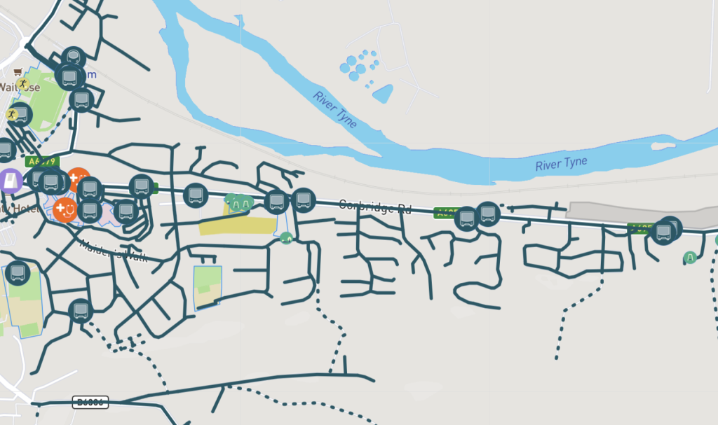
Incorporate information from sources like Ordnance Survey and Open Street Maps to inform planning proposals.
Social infrastructure provision
Perform initial assessments of social infrastructure
Anticipate constraints in your planning projects by evaluating local social infrastructure capacity, including GPs, schools, and community spaces.
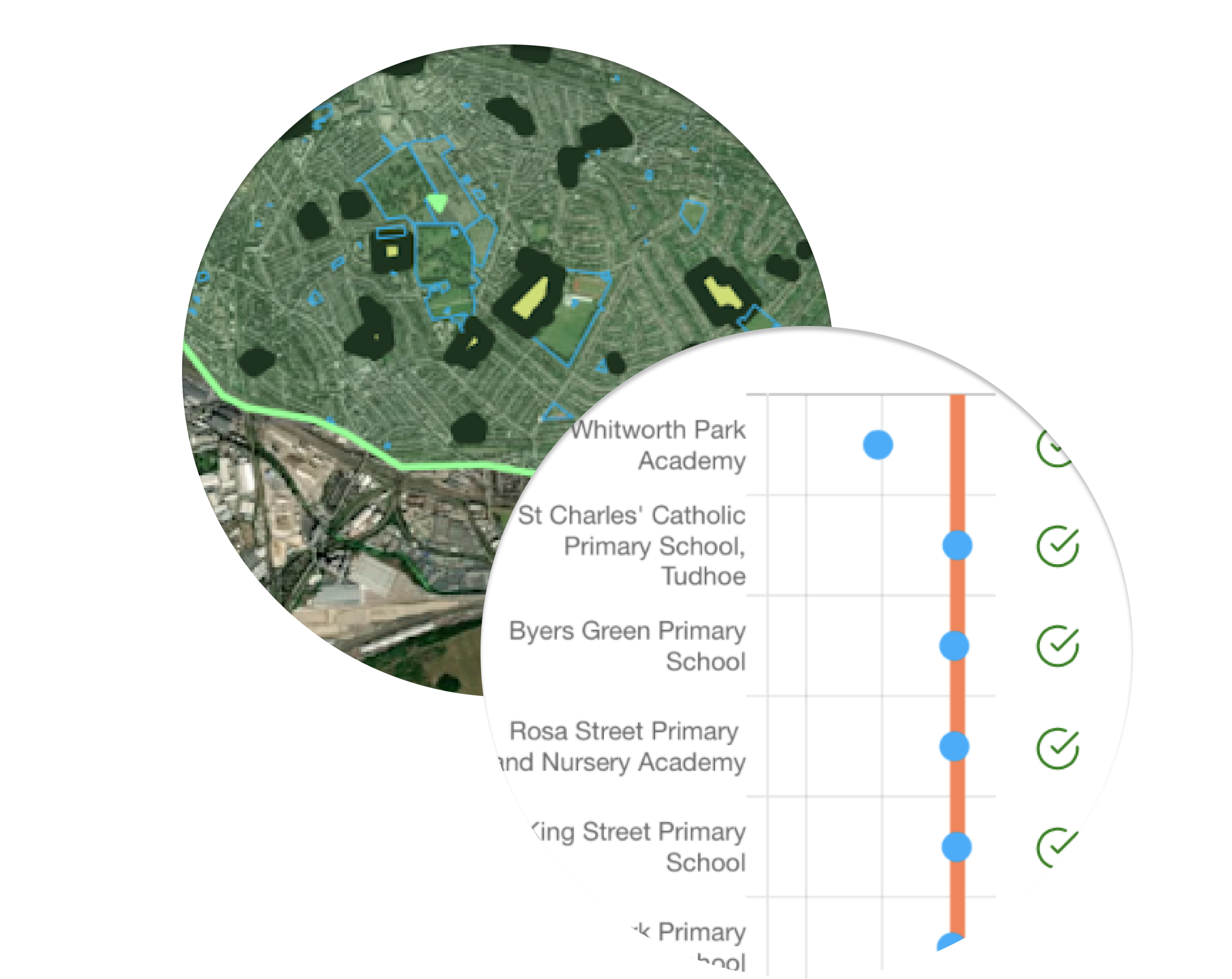
Understand the capacity of local social infrastructure, such as GPs, schools, and community spaces, to anticipate constraints in your planning projects.
Socio demographics
Compare Local Socio-Demographics with Ease
Tailor your planning proposals to the local population by generating benchmarked insights on demographics, health conditions, and travel behaviour.
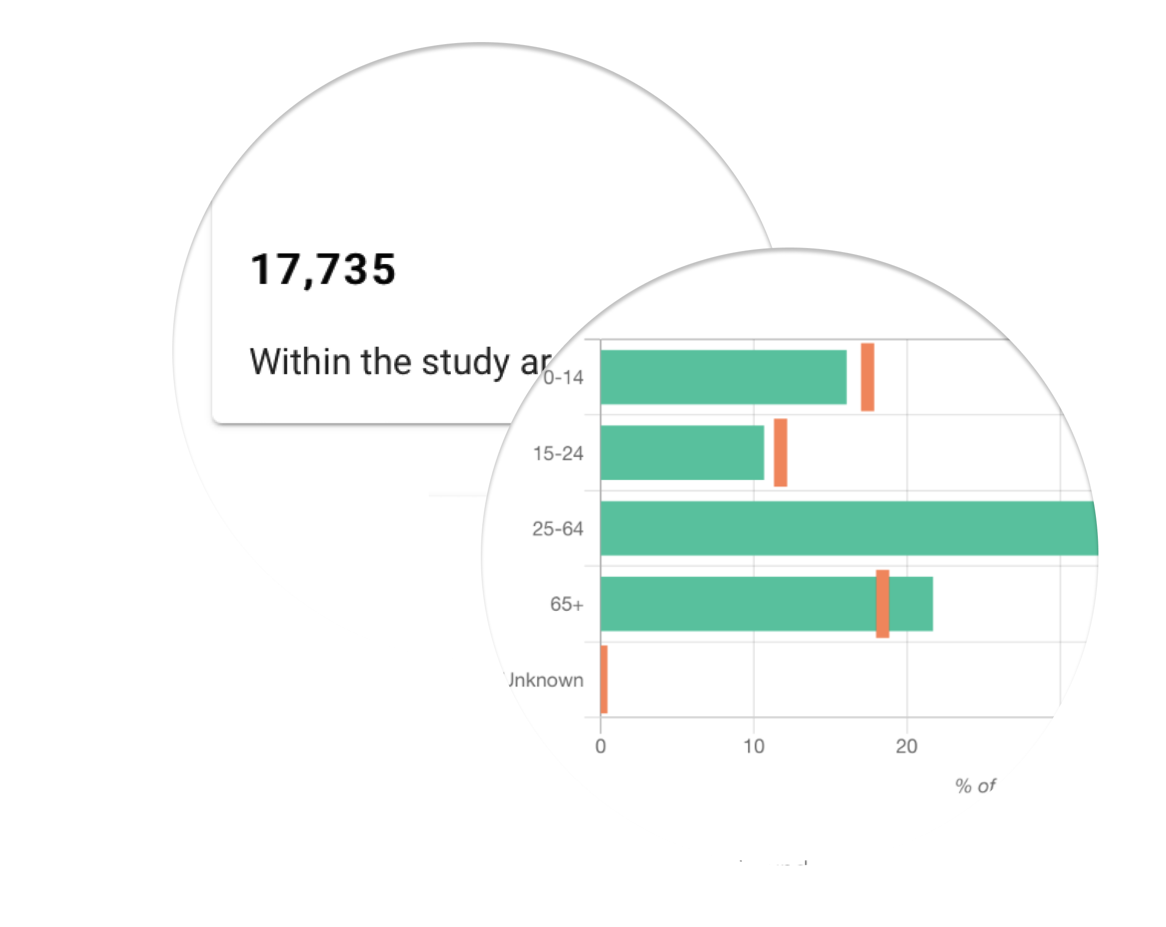
Generate benchmarked insights on local people, demographics, health issues, and more. Identify local challenges in advance to ensure a smoother development process.
Public health
Identify and consider local health challenges
Health impact assessments are easier with place-based analysis that highlights key health indicators linked to local infrastructure.
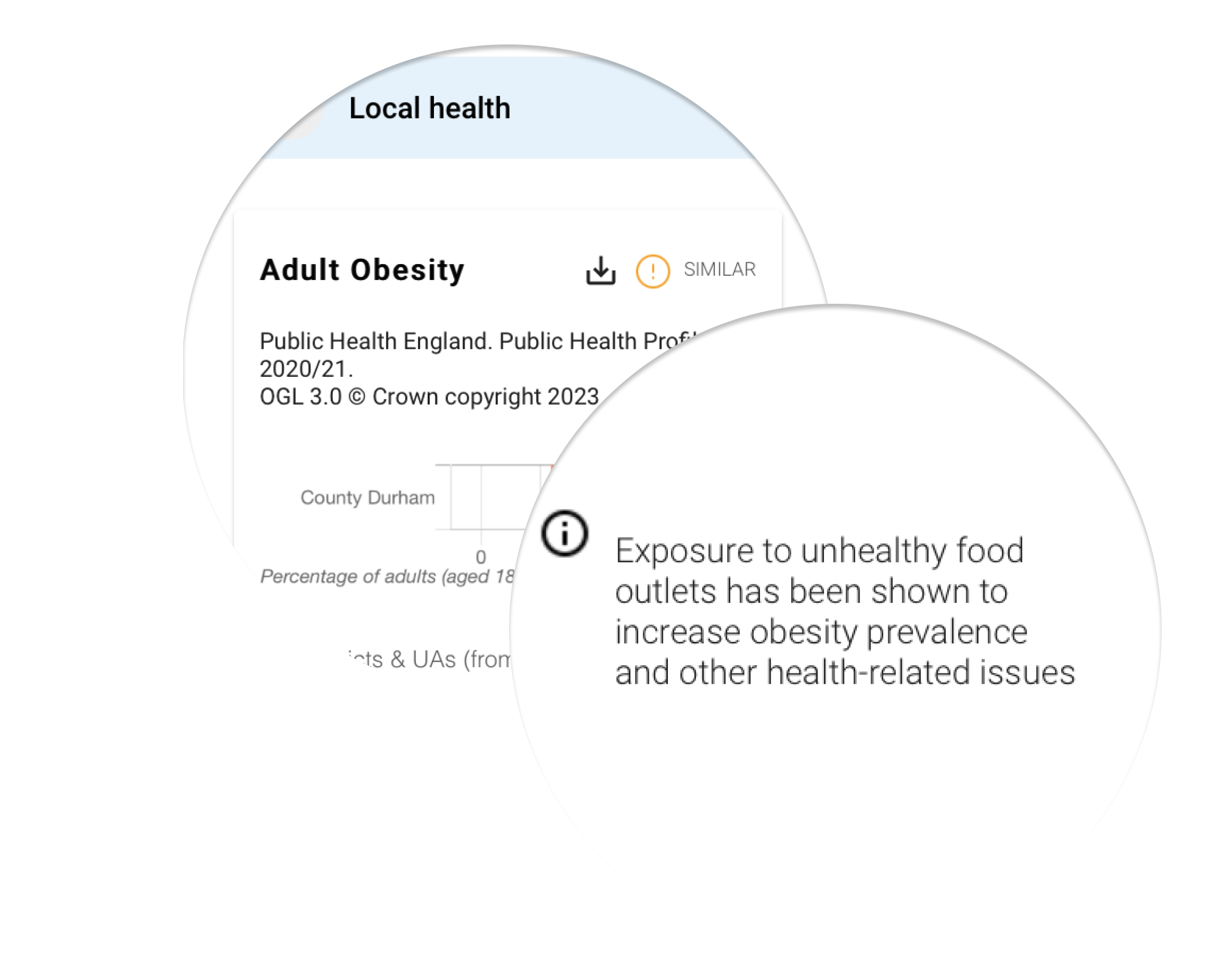
Identify potential risks and optimise your proposals based on the health challenges faced by the local population.
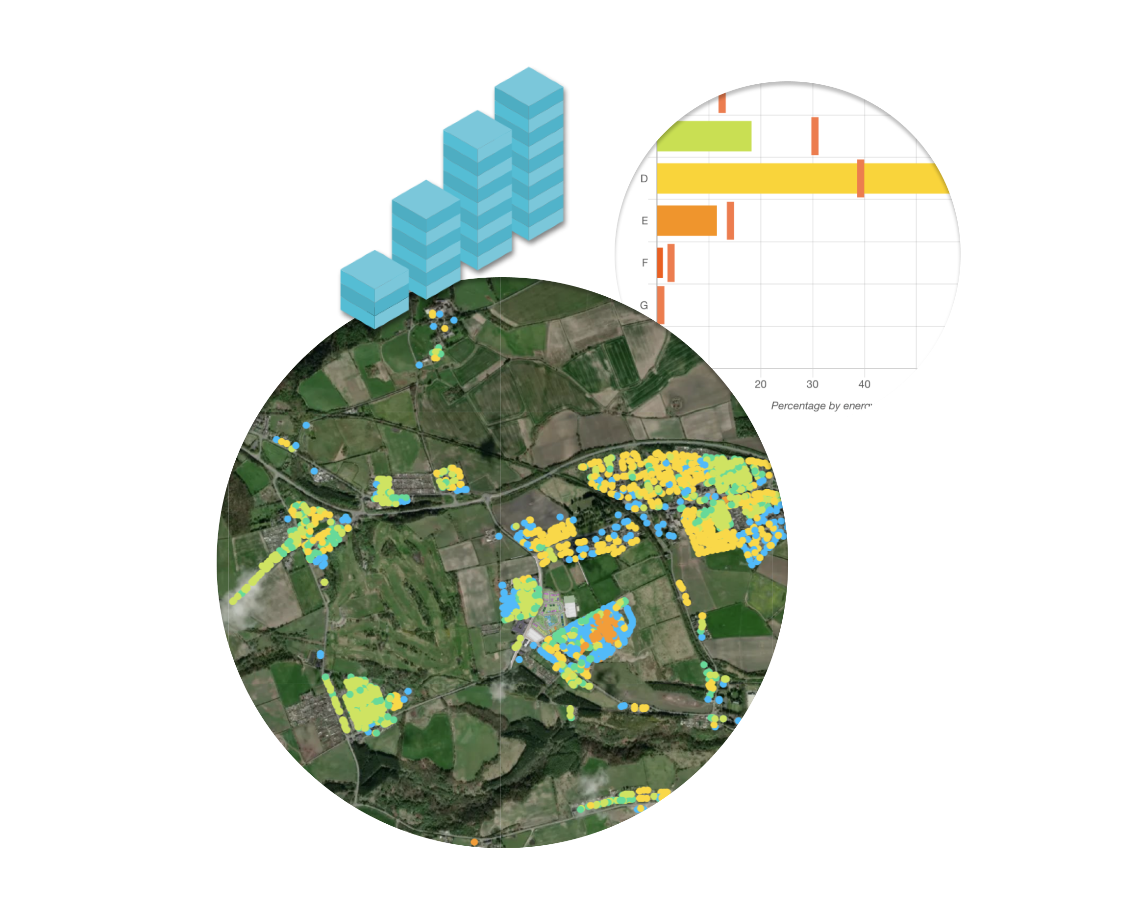
Existing housing
Evaluate Local Housing Provisions Using Location Data
Gain a detailed understanding of existing housing down to the property level allowing you to stay connected to local housing requirements.
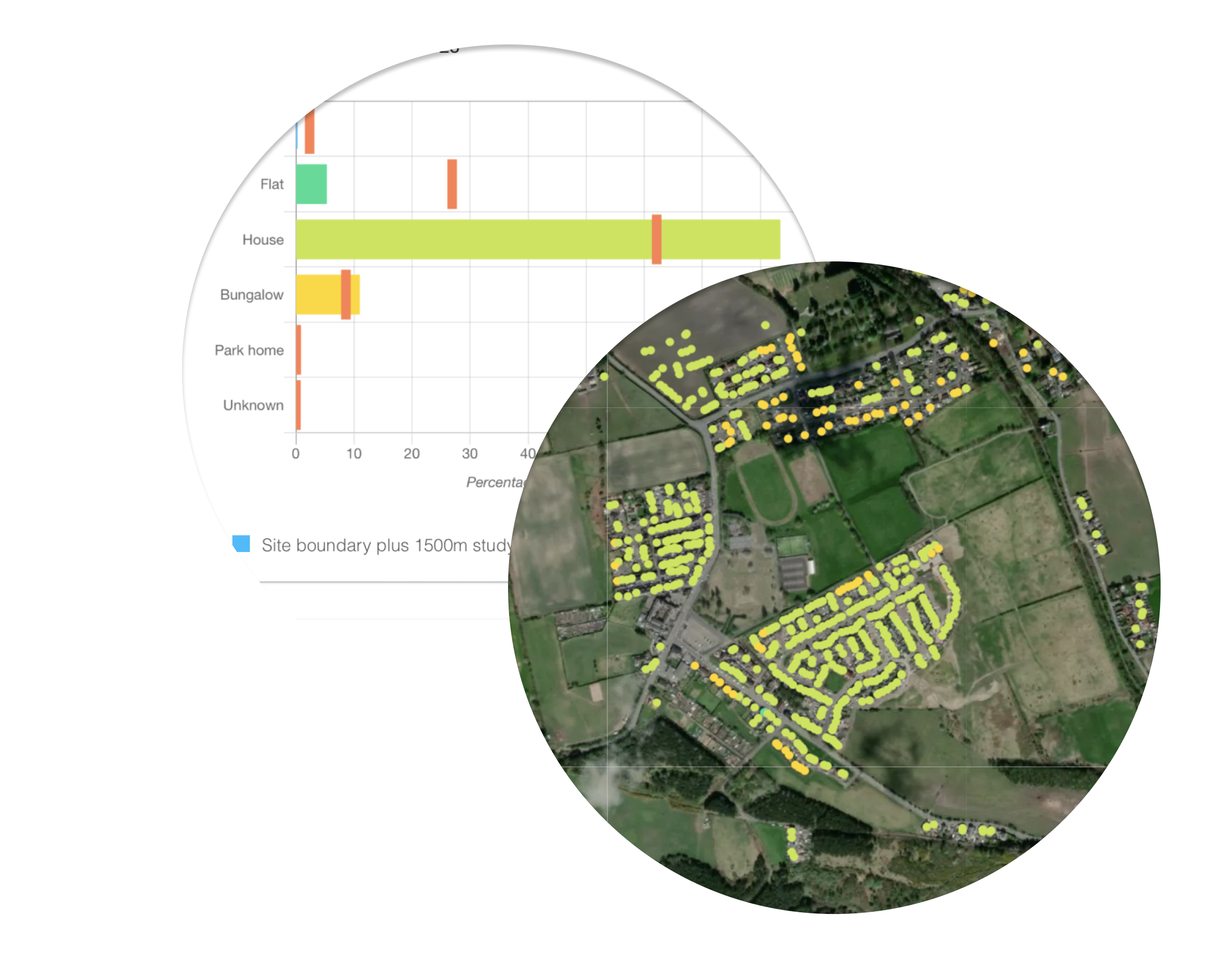
By visualising existing housing down to property level, you can identify patterns and potential issues, such as overcrowding, underutilization, or lack of diversity, that may have gone unnoticed. This information can help you make better-informed decisions and tailor your proposals to better meet the needs of the community.
20 minute neighbourhood
Pinpoint Walkability Gaps and Optimise Access with Pedshed Tools
Use advanced spatial analysis to identify gaps in provision using walking-distance pedsheds — no GIS expertise required!
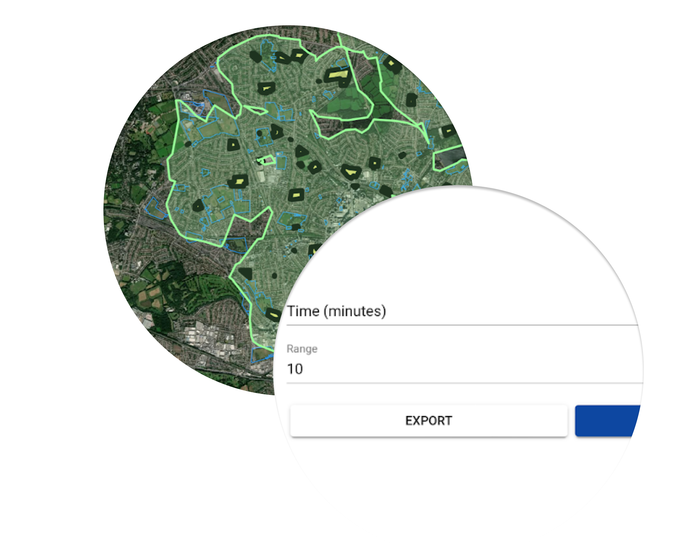
Plan for improved quality of life by analysing walkability and coverage of local amenities. Visualise walkable access to parks, healthcare, schools, and public transport, and make decisions that improve access for residents without requiring GIS expertise.
FEATURE
Flexible pricing for projects or organisations
Choose from project-based pricing or corporate licenses for unlimited requests.
Per project
Basic
Add £210
Per project
Pro
Add £900
Per Organisation
Basic
£100 / month
PER ORGANISATION
